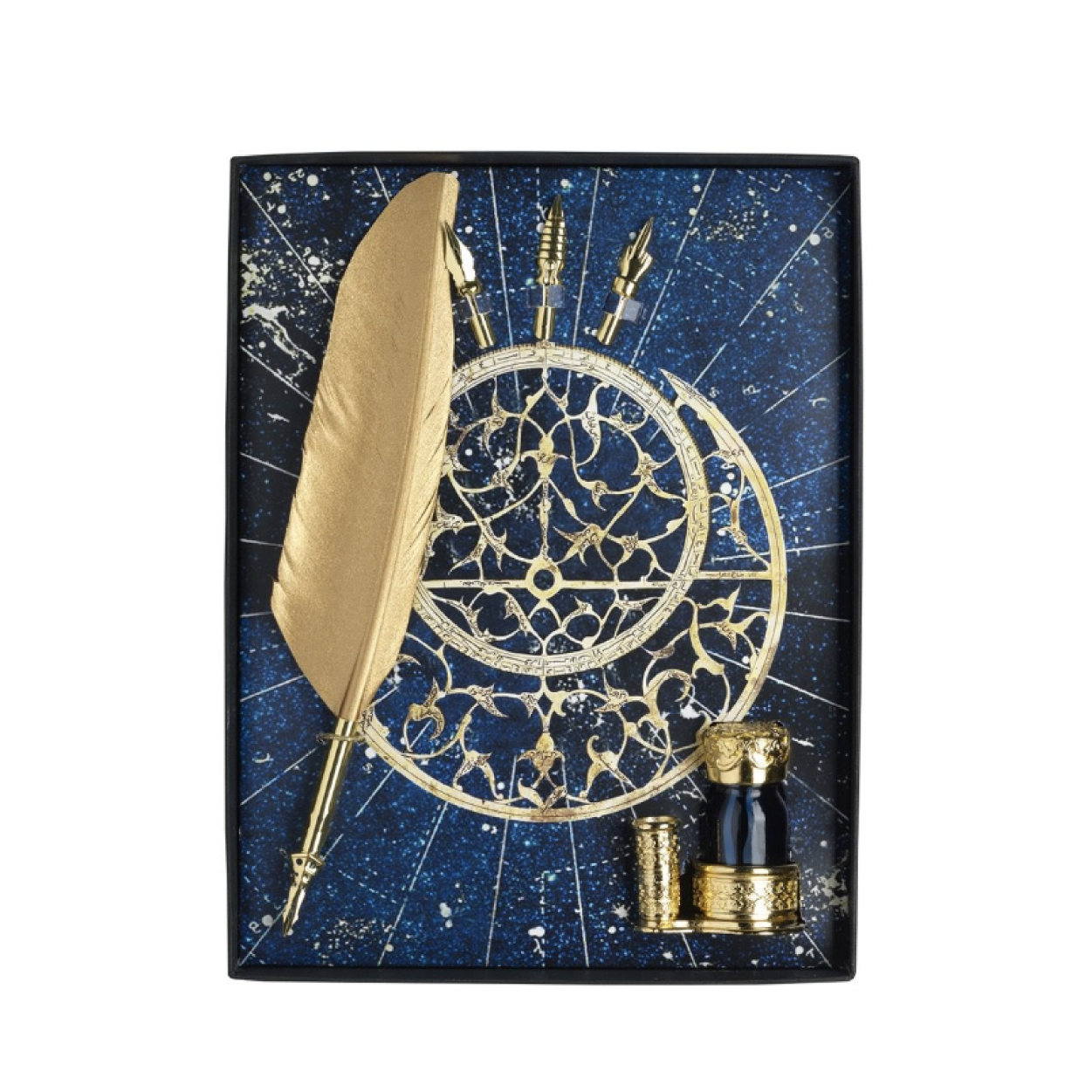

PIRI REIS YAZI SET
RM1,800.00
The first world map drawn by Ottoman admiral Piri Reis in 1513 is one of the oldest maps showing the Americas. Torn across the right, the map shows the west coasts of Europe and Africa, and the east coast of South America. The original map is 90 x 65 cm in size, decorated with various colors, pictures and writings on gazelle skin. The original of the map is in Topkapı Palace today.
Only 1 left in stock
Description
The Piri Reis World Map, which was prepared by integrating the truths and wrongs of twenty maps, including the currently lost map of Christopher Columbus, is a valuable historical document containing the geographical information of 16th century European and Muslim sailors.
The first world map drawn by Ottoman admiral Piri Reis in 1513 is one of the oldest maps showing the Americas. Torn across the right, the map shows the west coasts of Europe and Africa, and the east coast of South America. The original map is 90 x 65 cm in size, decorated with various colors, pictures and writings on gazelle skin. The original of the map is in Topkapı Palace today.
Cleaning Suggestions: Wipe with a dry cloth.
Additional information
| Dimensions | 13 × 33 cm |
|---|---|
| Color | Navy Blue |
| Product Origin | Italy |
Related products
-
SOLD OUT
- Out of Stock
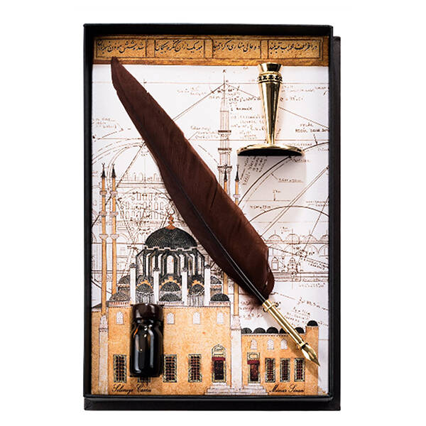
- Antiques, PEN SETS
MINAR SINAN YAZI SETI
- RM1,800.00
- Read more
-
Reviews
There are no reviews yet.